
Nanoose Bay, Central Vancouver Island
Roof Moss Removal in Nanoose Bay, BC
Away from the golf course, Nanoose Bay is parkland and standing forest — Moorecroft, Beachcomber, Gerald Island, Enos Lake — with Notch Hill above the bay. A property tucked into that has trees for neighbours, and a roof under trees is on a shorter cycle than one in the open.
What Nanoose Bay Does to Your Property
Notch Hill, Enos Lake and the Roofs Underneath Them
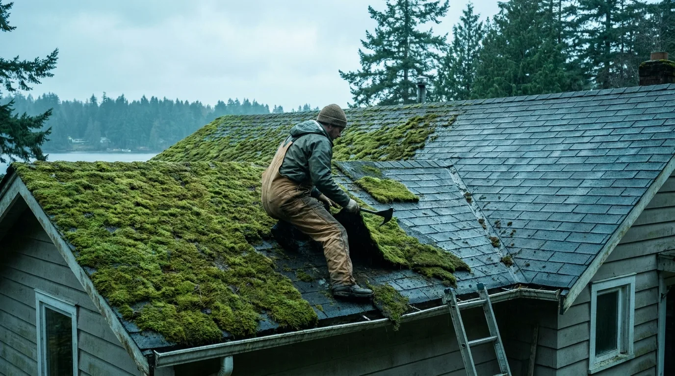
Moorecroft Regional Park, Beachcomber Regional Park, Gerald Island Provincial Park and Enos Lake are all inside this stretch of coast, and Notch Hill stands over the bay itself. Red Gap, Beachcomber and the Northwest Bay Road corridor put houses in among that rather than alongside it, which is a different arrangement from a subdivision with parkland at the end of the street. The consequence on a roof is a debris load that never stops and shade that lasts most of the day, and moss needs both — it roots into what collects on the shingle, and it survives on the moisture the shade preserves. The removal is slow on purpose: treated, left to die, allowed to weather off across the following months, with something applied to lengthen the gap before the next one. Scraping or blasting a shingle roof clears it in an afternoon and costs years of its life doing so.
- Fairwinds holds zoning approval for about 2,100 more home sites on 750 acres of undeveloped land, so new build and established lots sit side by side
- A set of named pockets — Red Gap, Beachcomber, Dolphin Beach, Wall Beach, Madrona Point, Powder Point — rather than one continuous townsite
- Notch Hill overlooks the bay, and the Nanoose Bay Peninsula and Powder Point make up much of the shoreline
Nanoose Bay Questions
By the pocket, not the town name. Nanoose Bay is unincorporated — a regional district area rather than a municipality — and it is made of named places rather than neighbourhoods: Red Gap, Beachcomber, Dolphin Beach, Wall Beach, Madrona Point, Powder Point, Tyee Cove, Cottam Point and the Northwest Bay Road corridor. The shoreline breaks into small coves and points instead of running as one beach, so exposure changes over surprisingly short distances. Naming the pocket and the road gets a more accurate price than naming the town does, because a sheltered cove lot and an exposed point are not the same exterior even when they are five minutes apart.
Around Nanoose Bay
Nanoose Bay is spread out. It is an unincorporated area rather than a town, running from 26 km north of Nanaimo down to 16 km short of Parksville, and the difference between a Fairwinds fairway lot and a place out on Powder Point is real — different exposure, different access, different trees. The pocket says more than the postcode.
Landmarks nearby: Beachcomber Regional Park · Gerald Island Provincial Park · Enos Lake
Also Nearby
Free Quotes Across Nanoose Bay
You get the number before anything is booked, and nothing is added afterwards.